All posts by Stefan Rieger

What’s new?

It took me longer to update the website than I’d have liked – as usual ;-). Last year I was fortunate to conduct two longer backpacking trips in Lapland:

Summer hike from Katterat to Nikkaluokta

Some time ago, I already posted a video about this trip that I did together with my wife. Finally, I uploaded some of the new images from this trip to the image gallery Lapland – Kebnekaisefjäll. I used this opportunity to also optimize some of the older images from this gallery.

Traversing the national parks Rago, Padjelanta and Sarek in September

Starting in Norway and the Norwegian Rago NP, I crossed over to Sweden where I traversed the Padjelanta and Sarek NPs. My endpoint was Kvikkjokk. Also for this adventure, I created a short video:

Rago, Padjelanta and Sarek - One Hike, Three National Parks

In addition, I updated the image galleries about Sarek, and created a new gallery displaying  some of the images from the Rago and Padjelanta NPs that I captured on this hike.

New image gallery about German landscapes

Finally, I decided to create a new image gallery about German landscapes. Reviewing my image database, I discovered that I haven’t done a lot of “serious” photography in Germany. My plan is to change this. In particular, I want to do more local landscape photography around the city of Hamburg.

My backlog is still big

As I mentioned in the beginning, I’m slow in updating things on the website. But I’m not quick either in reviewing and editing images – it’s a hobby after all. The good news is that you can look forward to images and possibly videos in the future :-). Those include:

  • Images from Wales (including lots of waterfalls)
  • Images + video from a relaxed winter trip to Lapland (this time only day trips with skis)
  • Very recently my wife and I have been to Iceland as there was the chance for a visit with less tourists. Our highlight was the crowded but beautiful Laugavegur trail. (We can only imagine how full it is in normal years…)
Local nature photography in Hamburg

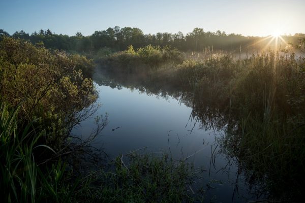
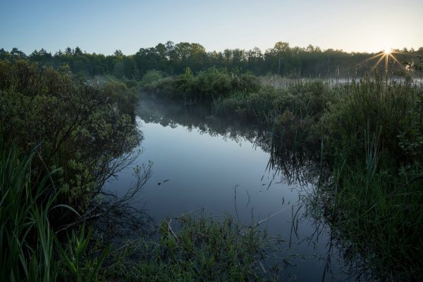
First rays of sunlight

Since three years I’m living in the city of Hamburg. Hamburg features many well-known tourist-attractions. Famous sights include the Elbphilharmonie, the Speicherstadt, the city hall, the port, and many many more. Hamburg has a lot of green areas and parks as well (like Planten un Blomen). Still, it is not exactly famous for its nature. However, in the outskirts of the city you can find small nature refuges, like forests and marshes. During the day those are frequented by many walkers, bikers and joggers – especially so during Corona lockdown. If you go there early enough you’ll be almost by yourself.

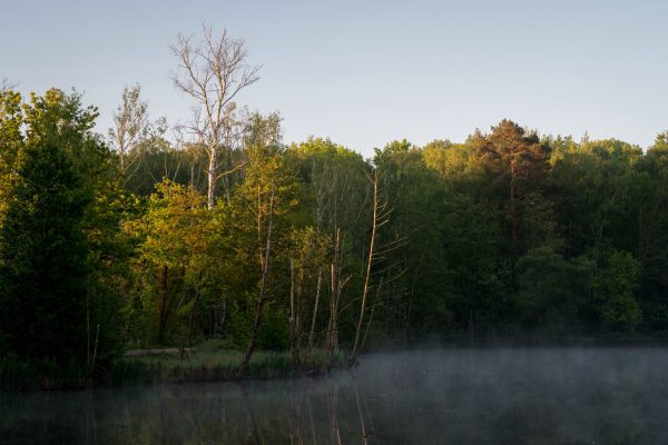
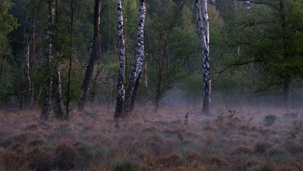
The images in this post were taken in one of those areas – the size of which is no more than one square kilometer – before and at sunrise. The nice thing about local photography is that you can return to a place easily. So there might be more images of this place (and possibly other local locations) in the future.

Birch trees and morning mist
The sun rises higher
Glowing trees
Glowing trees

Bright Days and Nights in the North

In this time of crisis many of us have to deal with severe restrictions in our daily lives. Spending more at home gives us the opportunity to reflect on past adventures, look through the images and wait for the situation to improve again.

I want to share a video with you that documents an adventure trip my wife and I enjoyed last summer in northern Scandinavia – at a time when it never gets dark. Our hike started in Norway and ended in Sweden. We had plenty of time and sometimes spent more than one night in a place. Some of the sequences showing “early morning” sunlight were actually shot between 2 and 3 am.

Lapland - Beneath the Summer Sun

All the best to you in these difficult times!

Why I don’t publish GPS tracks

Recently, I received requests whether I could provide GPS tracks of my hikes in Lapland. First of all, thank you for your interest! While I’ll happily answer concrete questions regarding trip planning or possible hiking routes, I don’t want to publish any GPS tracks. Here’s why:

For safety’s sake

I don’t want to be responsible for safety issues that may arise when people follow in my footsteps. This is not hypothetical; in fact, conditions are changing a lot dependent on weather and season. While some sections may be safe in clear weather, they’re not in fog or rain. Especially river crossings can be very dangerous in the wrong conditions. It’s necessary to adapt to the current conditions or – if need be – backtrack or change plans.

I do mistakes. They’re in the recorded track data. I wouldn’t want other hikers to do the same mistakes just because they follow a track.

It’s necessary that you inform yourself thoroughly beforehand. What are possible routes? What are alternatives? What kind of terrain do I have to expect where? What is the best season? Where can rivers be forded? And so forth…

To protect nature

My hikes often traverse sensitive wilderness areas. I don’t want to attract “followers” that don’t respect nature or don’t practice leave-no-trace principles. A significant increase in traffic can severely damage the landscape as it has happened in a lot of places all over the world.

Hikers with a genuine interest will put in the effort required for planning a backcountry hike and behave responsibly. After all they’re there to admire the natural beauty! If you’re one of those, feel free to contact me if you have any questions :-)!